A for Analytics

A For Analytics

Geo Space Annotation (Drone, Satellite and infrared)

Being a prolific tech solution provider in the field of analytics, we at A for Analytics precisely focus on the geospacer sector and deliver custom-made geospatial annotation services that help industrial experts to adapt it with ease and improvise their operability.

Geo-spacial-and-annotations

Artificial Intelligence

Geo Space Annotation (Drone, Satellite and infrared)

Data Annotation for Geospatial Datasets

Satellite geospatial imagery dataset

The image annotation technology as a whole carries out a wide application in the geospatial industry, and we deliver it in the best way by deploying advanced deep learning models and training them perfectly. Governments are actively smartly converting their cities, and by deploying image annotation in the geospacer sector, now the governing bodies can hold more control over the city buildings by viewing them through satellite imagery and collecting their datasets.
Geo-spacial-and-annotations

Drone geospatial imagery dataset

We at A for Analytics provide some eccentric Geospatial AI services and annotation solutions that aim to cater all-around benefits to the adapter in the most effective way. Here, we provide a specific focus on drones, since they will be highly used in the immediate future, to implant the image annotation technique the right way and help in several applications like smooth takeoff, easy navigation, and identification of similar particles like drones and other foreign particles as well.

Infrared geospatial imagery dataset

We provide services in a value-added way when it comes to data annotation for geospatial datasets, as we extend our service wing to an infrared-based image annotation service that delivers specific solutions to our clients who adopt. We bring accuracy to the core concept here, to detect even a small object and perfectly classify them in the respective section.


0
Years of experience in IT
0 +
Professionals on board

Geo Space Annotation (Drone, Satellite and infrared) Services

Polygon-annotation

Polygon Annotation

  • Polygon Annotation for Computer Vision
  • Polygon Annotation Services
Sematic-segmentation

Semantic Segmentation

  • Semantic Segmentation of Satellite Images
  • Our approach to geospatial semantic segmentation
Image-classification

Image Classification

  • Satellite Image Classification
  • Satellite Imagery Classification using Deep Learning
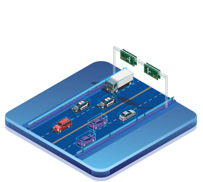
Unidentified-object-detection

Object Tracking

  • Geospatial object detection services
  • Why choose our object detection in spatial analysis services?
3D-point-cloud-for-LiDARs-sensing

LiDAR Annotation

  • LiDAR Annotation Services
  • LiDAR Annotation Solutions for Computer Vision
Dimension-detection-with-3D-cuboids

Point of Interest (POI) Marking

  • Point of Interest (POI) Services
  • Best Point of Interest Data Provider
Data-Annotations-for-Transportation

Point Annotation

  • Point Annotation Services
  • Key Point Annotation Services for Artificial Intelligence