LiDAR Annotation
the importance of this technology and deliver futuristic LiDAR annotation services according to our clients' industrial demands.
Artificial Intelligence
LiDAR Annotation
LiDAR Annotation Services
LiDAR (Light Detection and Ranging) is an object detection approach based on lasers, and its implications have been widely witnessed in fields like Geospace, autonomous vehicles, and a few other industries. In A for Analytics, we know the importance of this technology and deliver futuristic LiDAR annotation services according to our clients' industrial demands.
LiDAR Annotation Solutions for Computer Vision
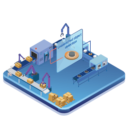
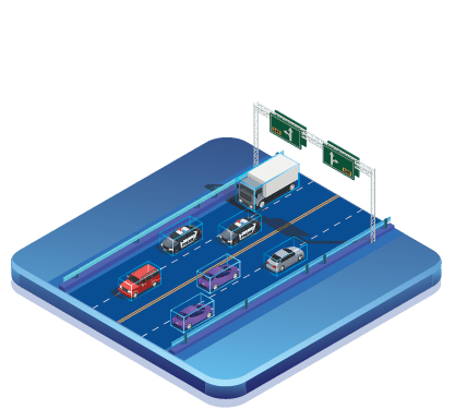
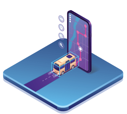
We provide dedicated services where our analytical experts train deep-learning image annotation models and computer vision models to bring the desired output for LiDAR Annotation Solutions for Computer Vision. Our end-end services in LiDAR are 3D Point Cloud Annotation, 3D Cuboid Annotation, bounding box annotation, landmark annotation, and polyline annotation.
In A for Analytics, we carry out a step-by-step approach to provide annotation service using LiDAR that helps both our technical team and the client to find the right solution that resolves your existing issue and enhances your future operability. We practice an agile working process that aims to take our clients’ businesses to a different transition level by deploying the LiDAR annotation righteously.
We believe in continuously improving the development process in deploying the LiDAR annotation technology into your business, so we focus on quality-based process building. As a part of this enhanced LiDAR technology deployment, we follow a highly customized approach that would be suitable for delivering precise solutions according to our client's needs.
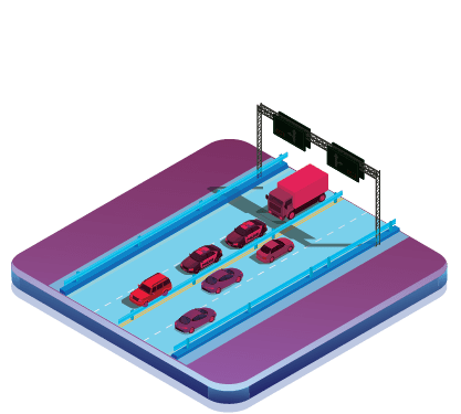
There are several industrial applications where we can witness the active presence of LiDAR in the future, and right now, it gets heavily utilized by the autonomous vehicle industry, which helps in detecting similar objects like cars and motorbikes, and also threat situations like unexpected interference of human and other vehicles on the road, adapting our LiDAR annotation services will help your industry in a customized way.

